


The Mallard Larkins Lookout
The trailhead starts where the road gives up. Fifteen miles of dirt past Avery and then another six that make you wonder if your truck is going to make it. But that’s the filter. By the time you’re on the trail there’s nobody else around.
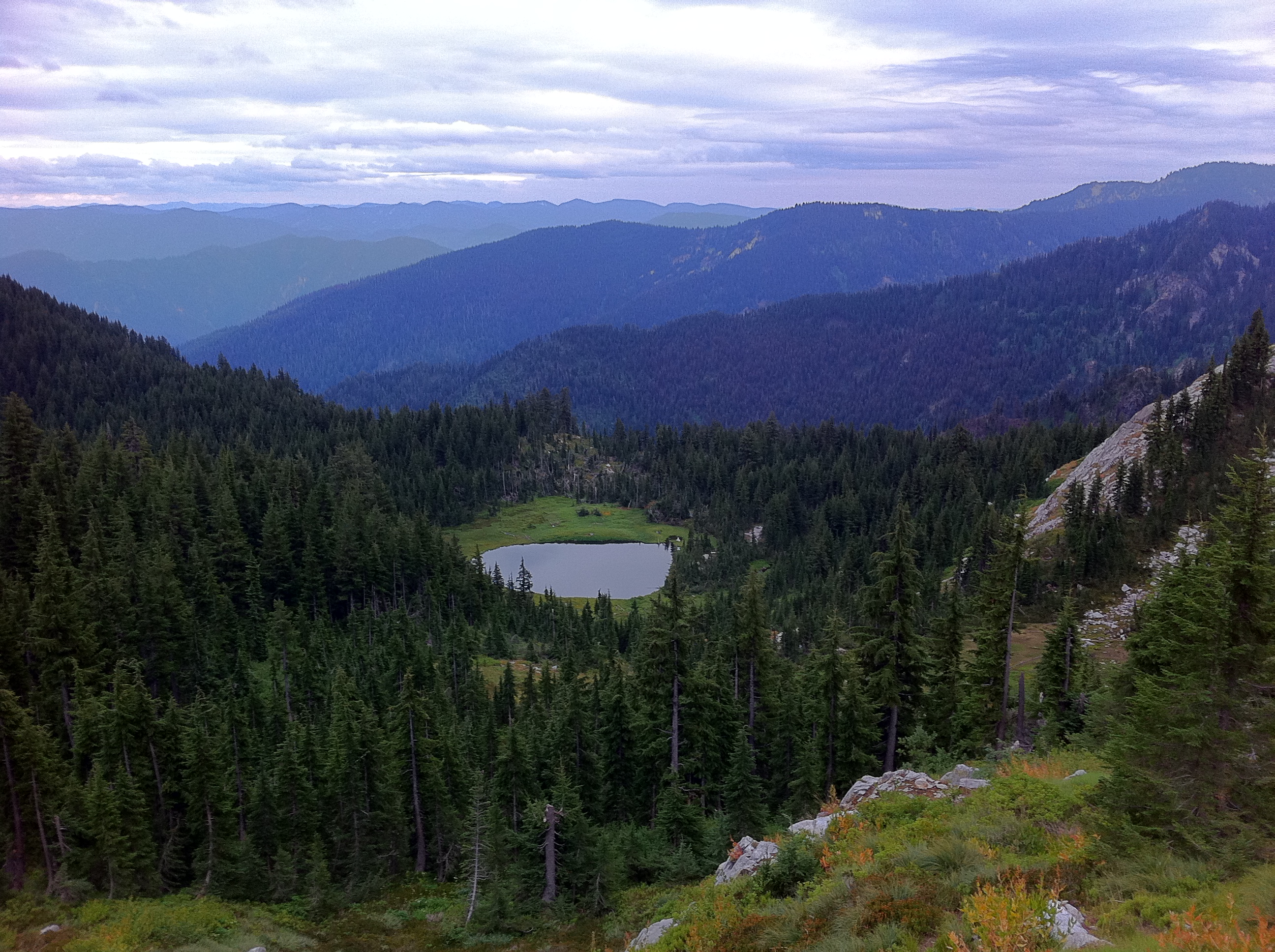
The lookout sits at around 6,800 feet on a ridge between the North Fork of the Clearwater and the St. Joe drainages. It’s one of those old fire lookouts that the Forest Service abandoned decades ago but someone keeps patching up out of love. The windows are mostly intact. There’s a logbook inside with entries going back years — people writing about the weather and the wildflowers and the feeling of being somewhere that cell phones don’t reach.
I got up there in the late afternoon after a long push through subalpine fir and beargrass meadows. The smoke from a distant fire had turned everything amber and soft. You could see ridge after ridge fading into haze — the Bitterroots to the east, the Gospel Hump country to the south, all of it empty and enormous.
I stayed until sunset. Watched the shadow of the ridge I was standing on stretch across the valley below. Ate a granola bar and drank the last of my water. Started the hike down in headlamp light with the stars coming out overhead. One of those days you don’t forget.